

A gallery of satellite images
-
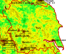
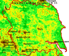
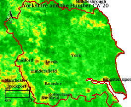
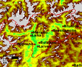
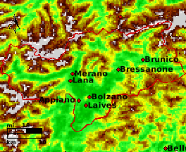
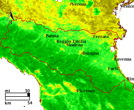
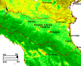
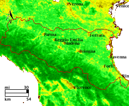
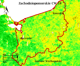
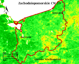
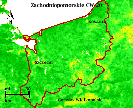
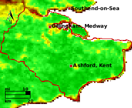
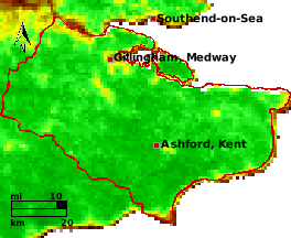
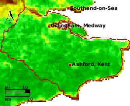
In the satellite image gallery you will find selected images of the vegetation condition (NDVI satellite images) for different European growing sites. A satellite image shows the long-term average of a calendar week. For each selected cropping site you can look at the vegetation development over several weeks by clicking from one image to the next.
-